
Toitū te Whenua
We make sure New Zealand has accurate information about where people and places are, people have confidence in their property rights and Crown property is well managed for future generations.
Our responsibilities include managing land titles, geodetic and cadastral survey systems, topographic information, hydrographic information, managing Crown property and supporting government decision making around foreign ownership.
Toitū te Whenua
Upcoming (0)
Past (33)
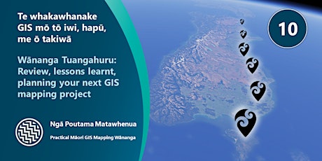
Wānanga Tuangahuru: Review, ongoing support and planning your next project
Tue, Dec 21, 9:30 AM GMT+13
Free
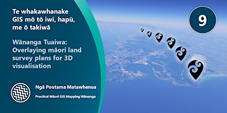
Wānanga Tuaiwa: Overlaying Maori Land Survey Plans and identifying change
Tue, Dec 14, 9:30 AM GMT+13
Free
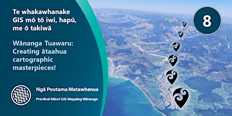
Wānanga Tuawaru: Creating ātaahua cartographic 5 minute map masterpieces !
Tue, Nov 30, 9:30 AM GMT+13
Free
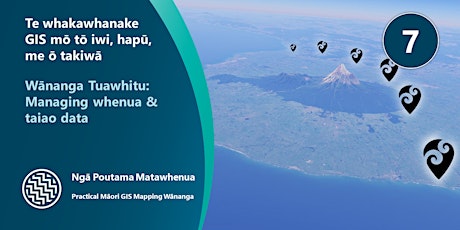
Wānanga Tuawhitu: Managing Whenua and Taiao data
Tue, Nov 16, 9:30 AM GMT+13
Free
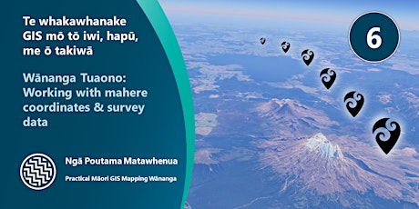
Wānanga Tuaono: Working with Property, Survey and Coordinate data
Tue, Nov 2, 9:30 AM GMT+13
Free
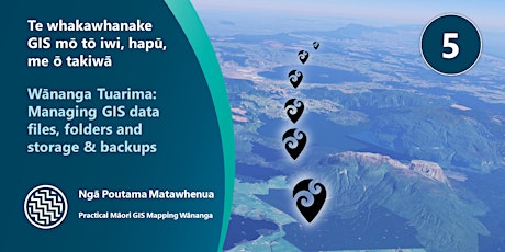
Wānanga Tuarima: Managing your GIS data files, folders, storage & backups
Tue, Oct 19, 9:30 AM GMT+13
Free
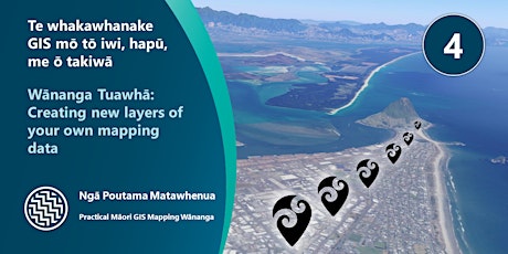
Wānanga Tuawhā: Creating new layers of your own mapping data
Tue, Oct 5, 9:30 AM GMT+13
Free
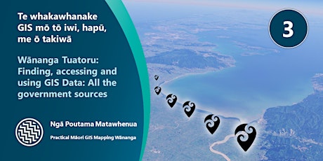
Wānanga Tuatoru: Finding, accessing and using all NZ government GIS Data
Tue, Sep 21, 9:30 AM GMT+12
Free
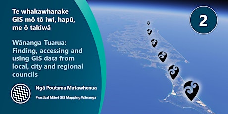
Wānanga Tuarua: Finding, accessing and using council GIS Data
Tue, Sep 7, 9:30 AM GMT+12
Free
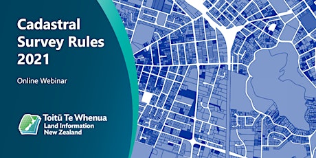
New Cadastral Survey Rules 2021
Free
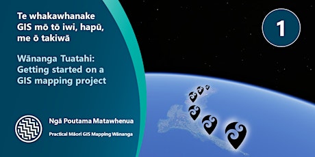
Wānanga Tuatahi: Getting started on your GIS mapping project
Tue, Aug 24, 9:30 AM GMT+12
Free
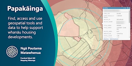
Papakāinga - Geospatial Tools and Data
Tue, Aug 3, 9:30 AM GMT+12
Free
Wānanga Tuangahuru: Review, ongoing support and planning your next project
Tue, Dec 21, 9:30 AM GMT+13
Free
Wānanga Tuaiwa: Overlaying Maori Land Survey Plans and identifying change
Tue, Dec 14, 9:30 AM GMT+13
Free
Wānanga Tuawaru: Creating ātaahua cartographic 5 minute map masterpieces !
Tue, Nov 30, 9:30 AM GMT+13
Free
Wānanga Tuawhitu: Managing Whenua and Taiao data
Tue, Nov 16, 9:30 AM GMT+13
Free
Wānanga Tuaono: Working with Property, Survey and Coordinate data
Tue, Nov 2, 9:30 AM GMT+13
Free
Wānanga Tuarima: Managing your GIS data files, folders, storage & backups
Tue, Oct 19, 9:30 AM GMT+13
Free
Wānanga Tuawhā: Creating new layers of your own mapping data
Tue, Oct 5, 9:30 AM GMT+13
Free
Wānanga Tuatoru: Finding, accessing and using all NZ government GIS Data
Tue, Sep 21, 9:30 AM GMT+12
Free
Wānanga Tuarua: Finding, accessing and using council GIS Data
Tue, Sep 7, 9:30 AM GMT+12
Free
New Cadastral Survey Rules 2021
Free
Wānanga Tuatahi: Getting started on your GIS mapping project
Tue, Aug 24, 9:30 AM GMT+12
Free
Papakāinga - Geospatial Tools and Data
Tue, Aug 3, 9:30 AM GMT+12
Free
Events
Wānanga Tuangahuru: Review, ongoing support and planning your next project
Tue, Dec 21, 9:30 AM GMT+13
Free
Wānanga Tuaiwa: Overlaying Maori Land Survey Plans and identifying change
Tue, Dec 14, 9:30 AM GMT+13
Free
Wānanga Tuawaru: Creating ātaahua cartographic 5 minute map masterpieces !
Tue, Nov 30, 9:30 AM GMT+13
Free
Wānanga Tuawhitu: Managing Whenua and Taiao data
Tue, Nov 16, 9:30 AM GMT+13
Free
Wānanga Tuaono: Working with Property, Survey and Coordinate data
Tue, Nov 2, 9:30 AM GMT+13
Free
Wānanga Tuarima: Managing your GIS data files, folders, storage & backups
Tue, Oct 19, 9:30 AM GMT+13
Free
Wānanga Tuawhā: Creating new layers of your own mapping data
Tue, Oct 5, 9:30 AM GMT+13
Free
Wānanga Tuatoru: Finding, accessing and using all NZ government GIS Data
Tue, Sep 21, 9:30 AM GMT+12
Free
Wānanga Tuarua: Finding, accessing and using council GIS Data
Tue, Sep 7, 9:30 AM GMT+12
Free
New Cadastral Survey Rules 2021
Free
Wānanga Tuatahi: Getting started on your GIS mapping project
Tue, Aug 24, 9:30 AM GMT+12
Free
Papakāinga - Geospatial Tools and Data
Tue, Aug 3, 9:30 AM GMT+12
Free